Mapping the deep ocean floor

There are two main reasons for our lack of knowledge of the deep ocean floor: first, the difficulties entailed in getting close to it, and second, its sheer immensity. One of ABYSSA’s core activities is to produce high-resolution maps of the seabed, to characterise these areas and track how they are changing.

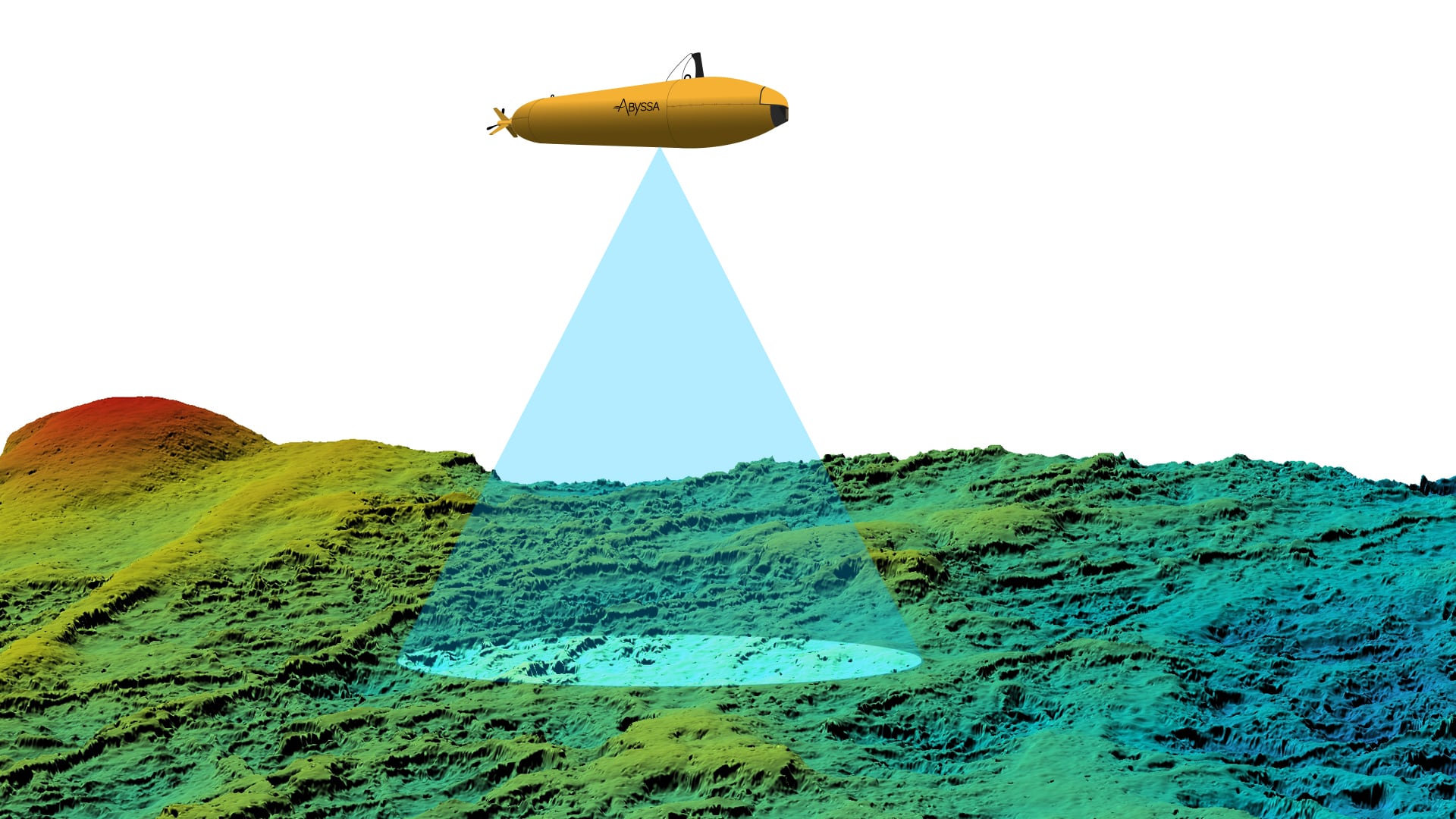
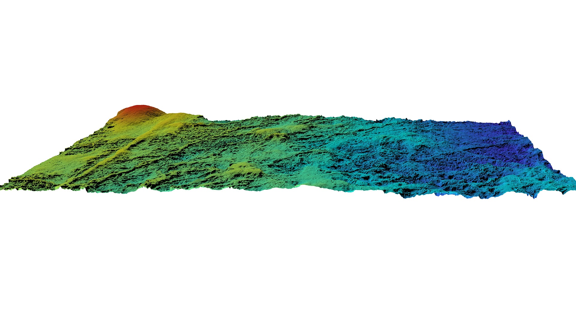
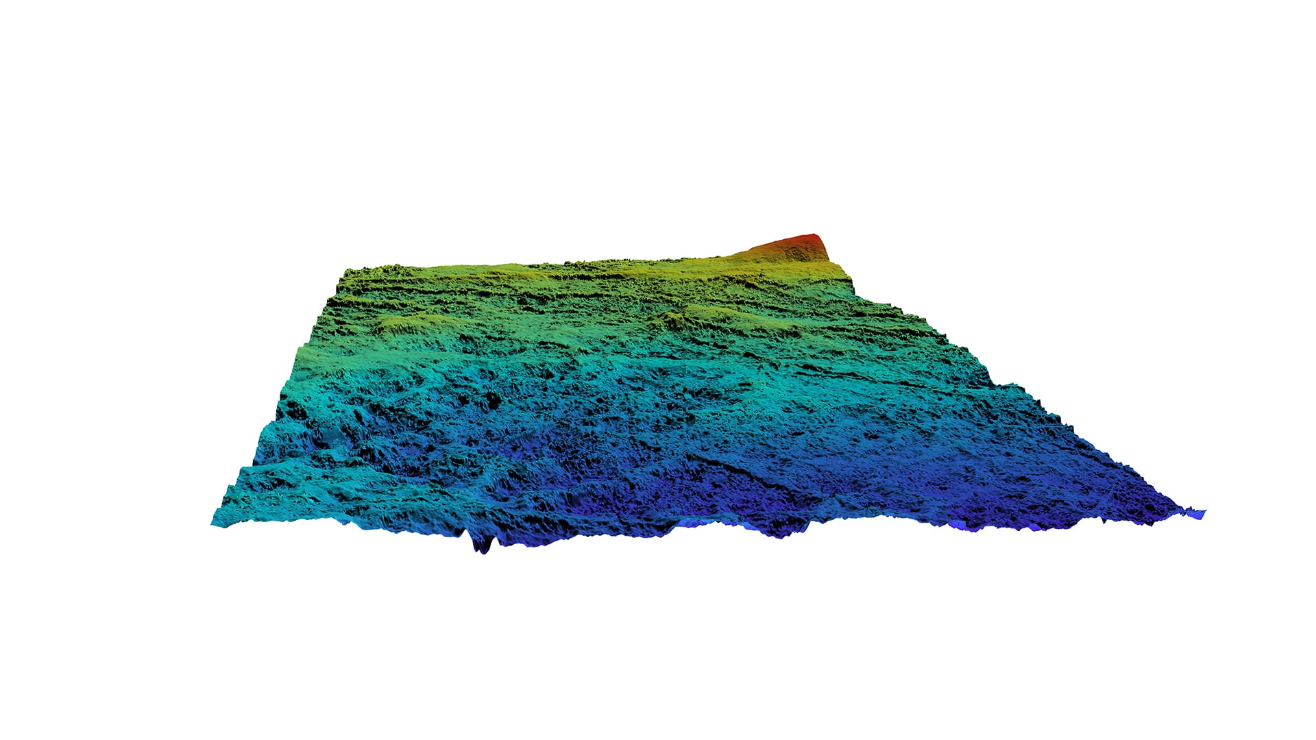
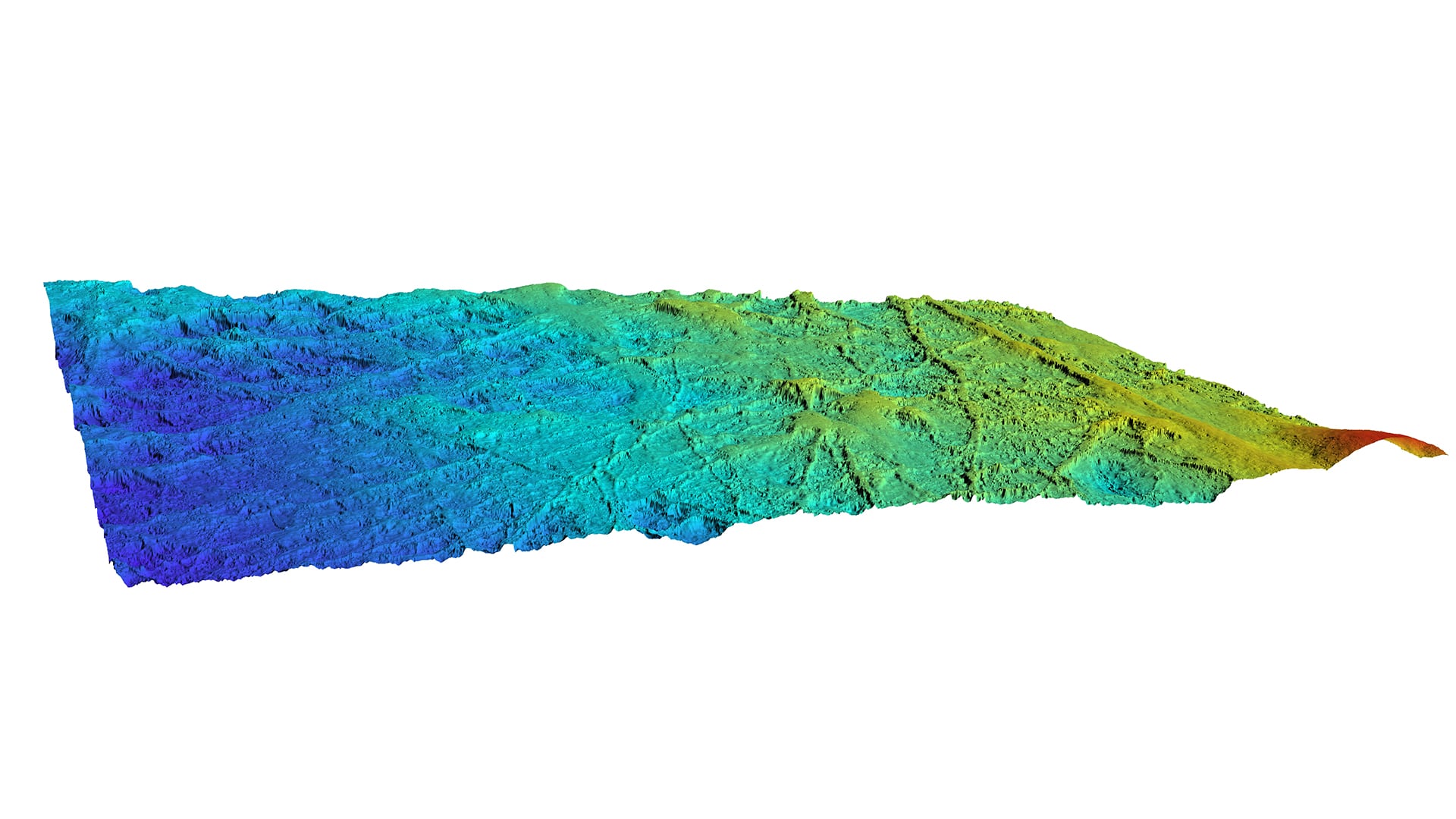
The deep ocean floor is, in fact, the home, often extending over vast areas, of biodiversity and geodiversity of great scientific and economic interest, as well as of hydrodynamic phenomena that are intricately related to global climate conditions.

Mapping these vast tracts of the ocean floor can help address issues relating to the regional, morphological, geological and biological context.

ABYSSA’s AUVs are Autonomous Underwater Vehicles used to acquire information and data in line with profiling specified in proximity to the deep ocean floor. We generally work at altitudes of less than 100 m above the sea floor, depending on the measurements to be taken and the desired resolution.

However deep we go, the resolution at the seabed will be the same, since it depends solely on the altitude at which the AUV is moving above the seabed (the distance between the vehicle and the seabed). That means that the resolution at the seabed, even at great depth, is still very good, enabling ABYSSA to produce highly accurate high-resolution mappings.

From surface vessels to AUVs

Since the 19th century, most underwater observation has been carried out using scientific instrumentation aboard surface vessels equipped for oceanographic studies.

Over the years, to obtain more precise data, such instrumentation has been used in ever-closer proximity to the seabed, drawing on advances in pressure-resistant technology, improved measurement acquisition capabilities thanks to environmental sensors and probes, data storage and data-sharing technology, and measurement platforms with greater autonomy, etc., culminating in the development of Autonomous Underwater Vehicles (AUVs).